Alternative Urban Areawide Review (AUAR)
What is an AUAR?
An Alternative Urban Areawide Review (AUAR) is an environmental review process that evaluates the potential impacts of different development scenarios within a defined area. It helps city leaders and the public understand how land use changes could impact natural resources, infrastructure and the community before any development occurs. Unlike environmental reviews that focus on a single project, an AUAR assesses multiple development scenarios. This allows the city to evaluate how different plans might affect the area and make informed choices about future growth.
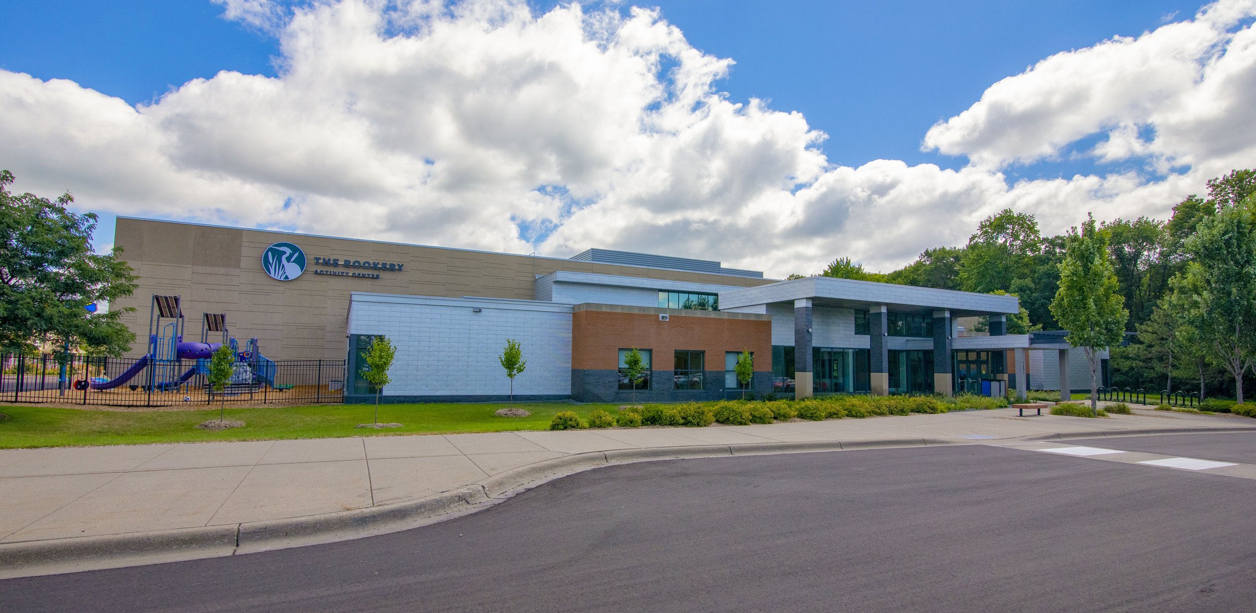
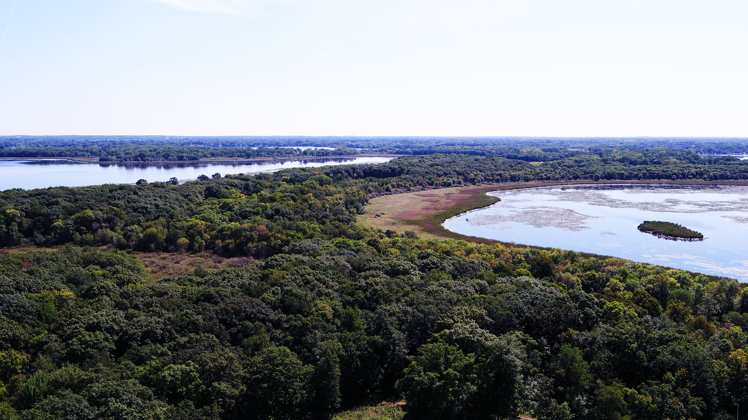
Lino Lakes is completing an AUAR for the 962-acre Mapping NW Main area to evaluate the impacts of two possible development scenarios. The results of the AUAR will inform potential changes to development guidelines for the area.
An AUAR evaluates how different development scenarios could impact:
Climate Adaption and Resilience
Land Use
Geology/Soils
Water Resources
Contamination/Hazardous Wastes
Fish/Wildlife/Plant Communities
Historic Properties
Visual
Air
Greenhouse Gas Emissions
Noise
Transportation
The review also identifies potential mitigation strategies to minimize environmental impacts. The city is responsible for implementing these strategies to reduce negative effects and ensure sustainable development.
What scenarios are being studied as part of the AUAR?
The Lino Lakes Main Street AUAR for the Mapping NW Main study area analyzes two development scenarios:
-
Scenario 1 is the city's existing 2040 Comprehensive Plan for the area. This scenario focuses higher-density and commercial development along both sides of Main Street, with lower-density residential development to the north and south. Medium-density housing would bridge the space between the high-density areas and the low-density areas. As the city’s existing guidelines, this scenario is required to be evaluated by the AUAR.
-
Scenario 2 is the result of feedback collected from community members. This scenario centralizes higher- and medium-density housing and commercial development near the Lino Lakes/Blaine border around the Main Street and Sunset Avenue, with low-density prioritized on the eastern side of the study area, backing up to existing Lino Lakes housing.
Both scenarios include new parks, trails, and greenway space to maintain access to natural amenities. Click here to review the scenarios in more detail.


Community input has been a vital part of the Mapping Northwest Main process. Community members and stakeholders were able to review and provide comment on the Lino Lakes Main Street Draft AUAR 30-day public comment period in May and June 2025.
The public comment period for the Lino Lakes Main Street Draft AUAR is closed